Brittany March
King Island | Illustrated Map
Couldn't load pickup availability
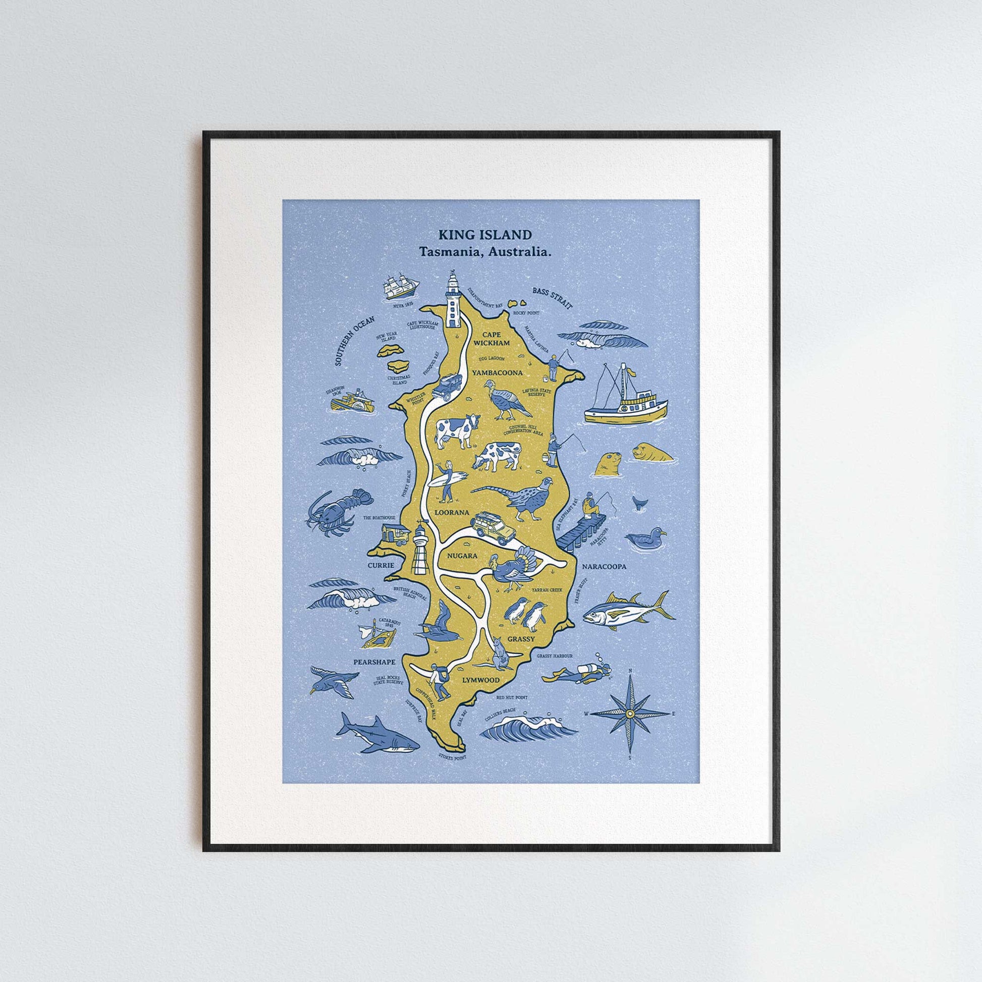
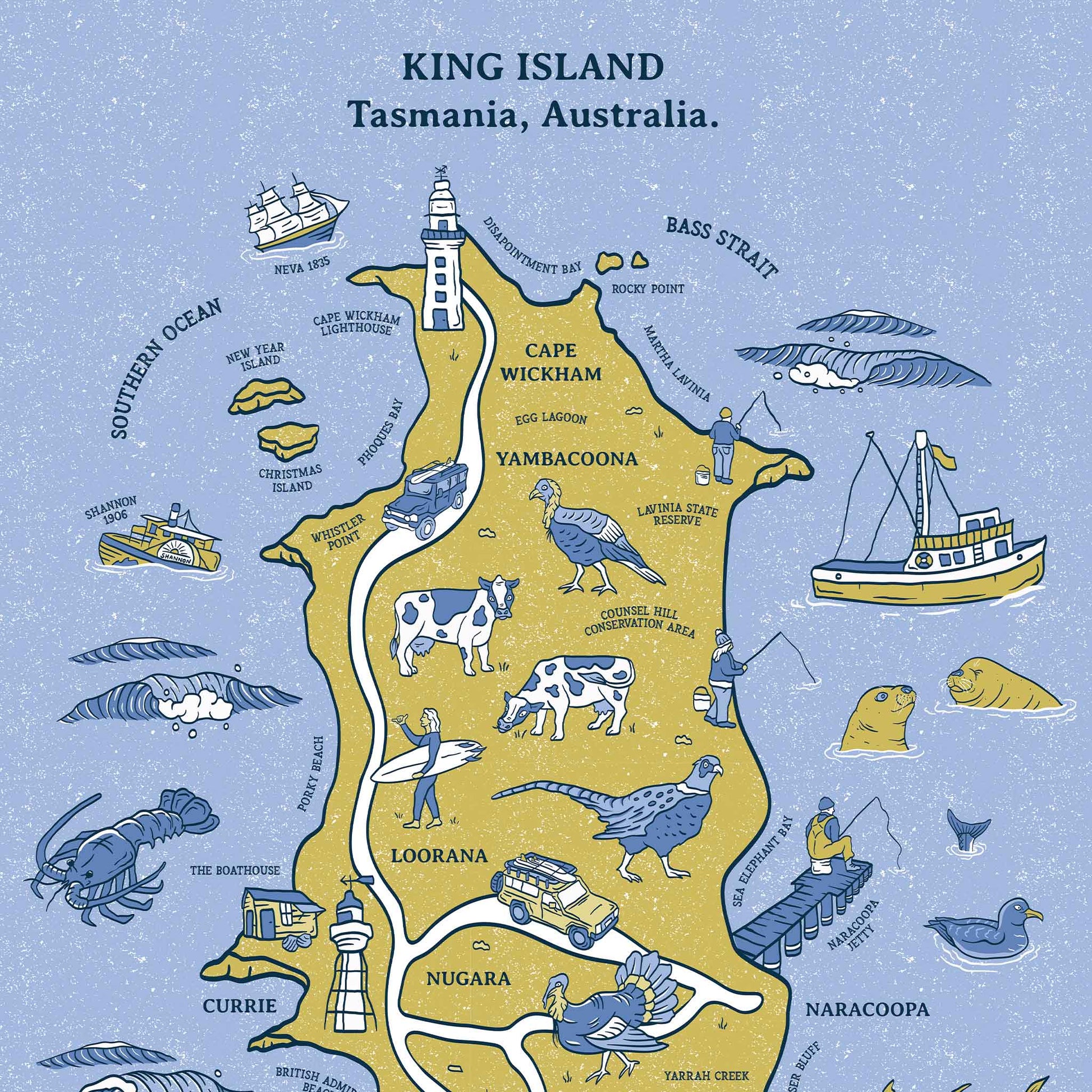
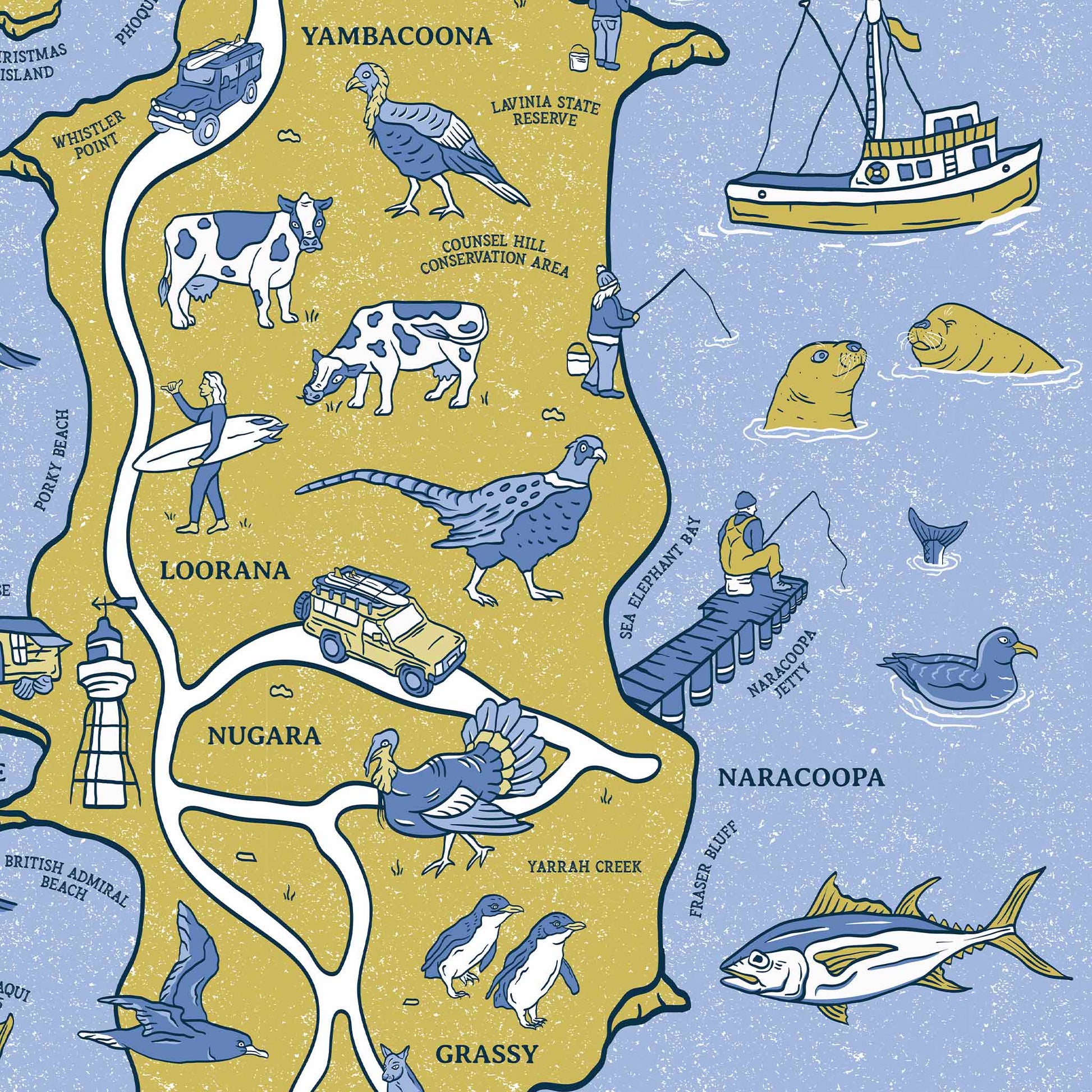
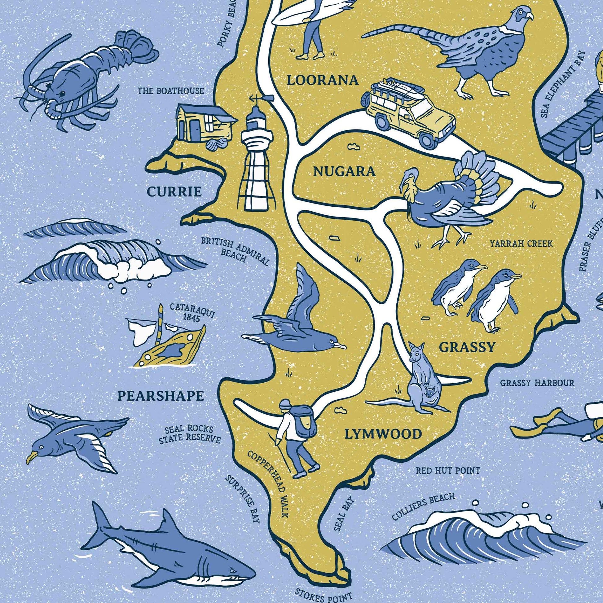
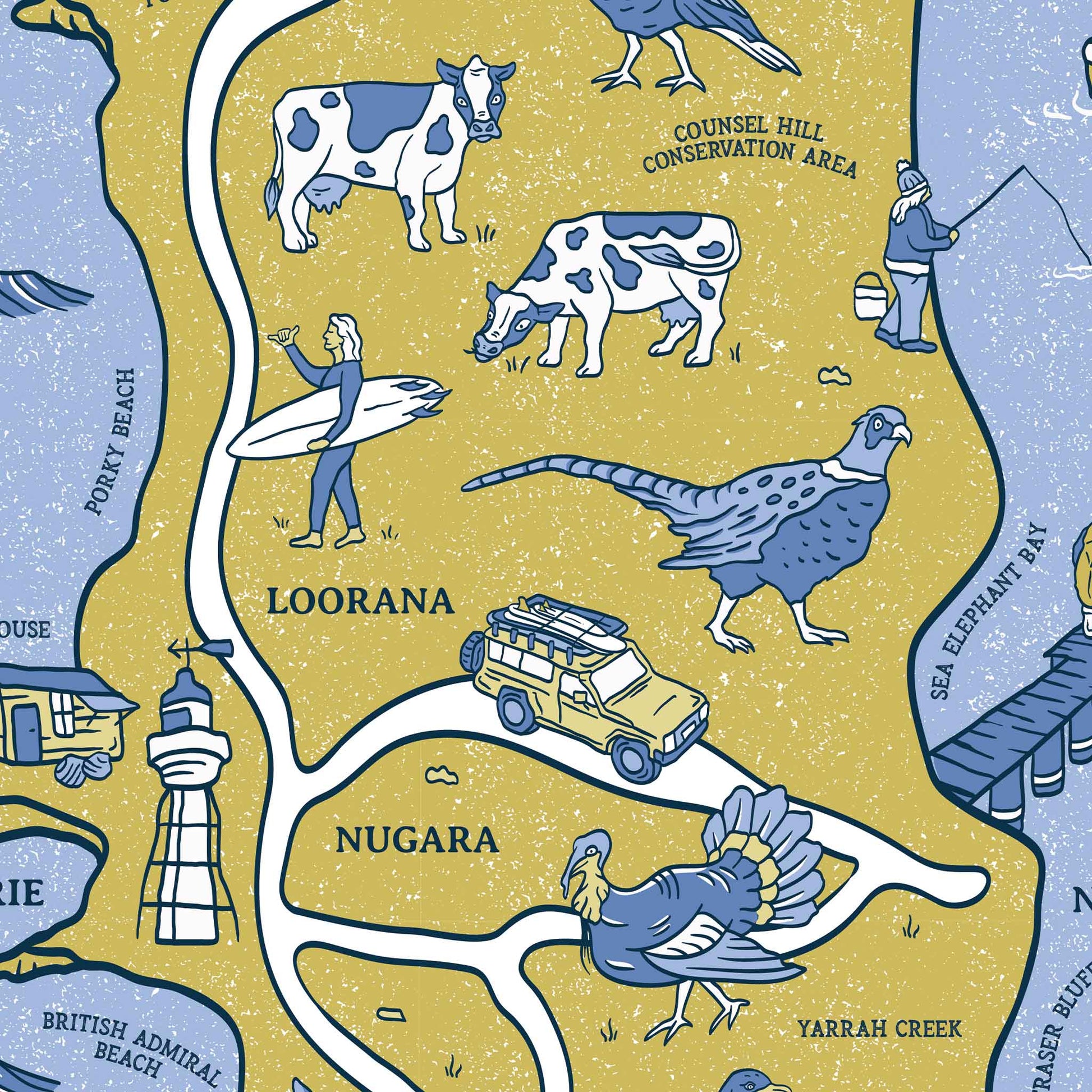
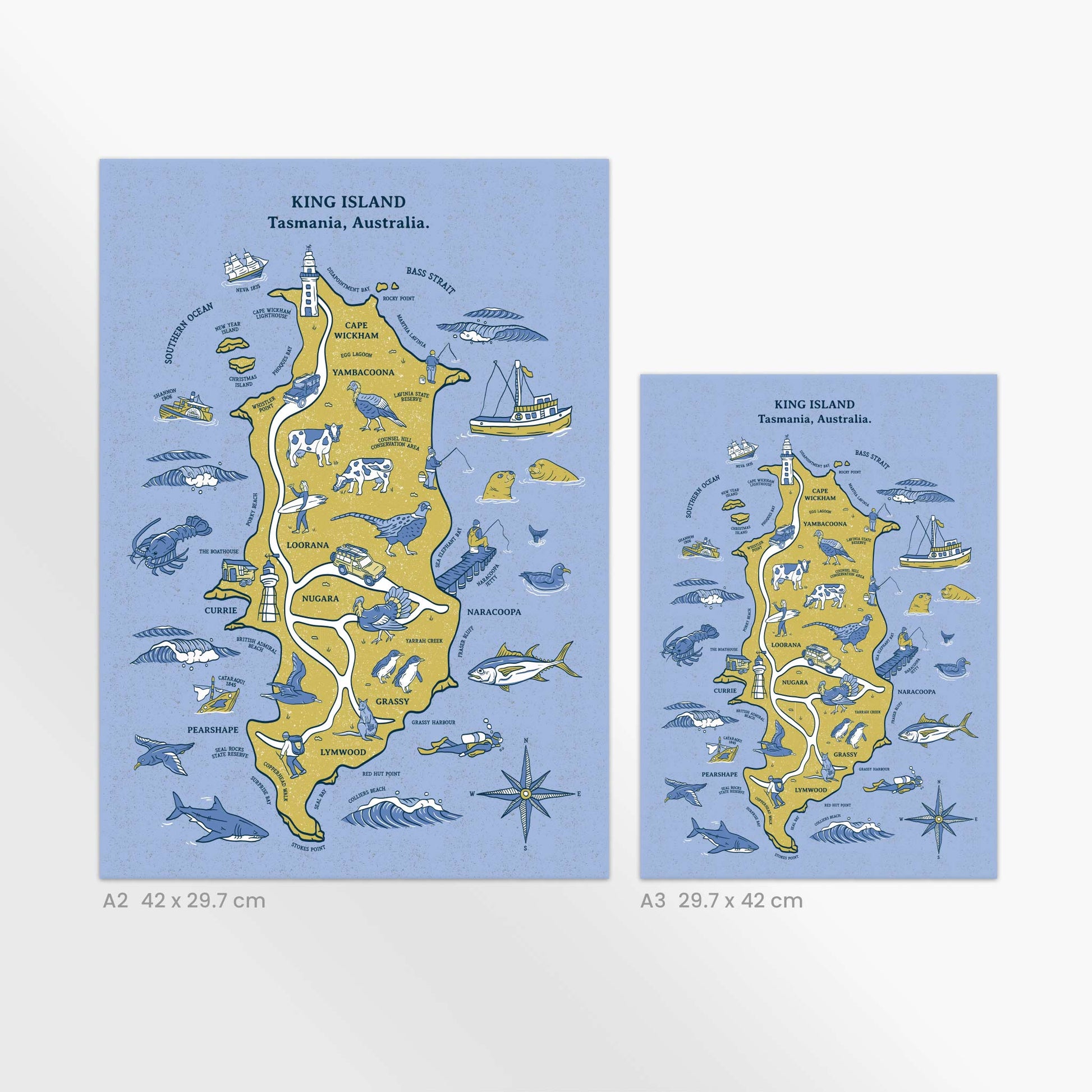
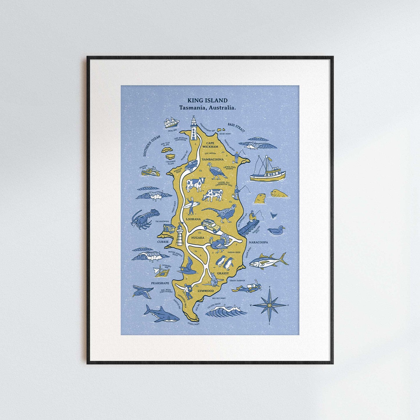
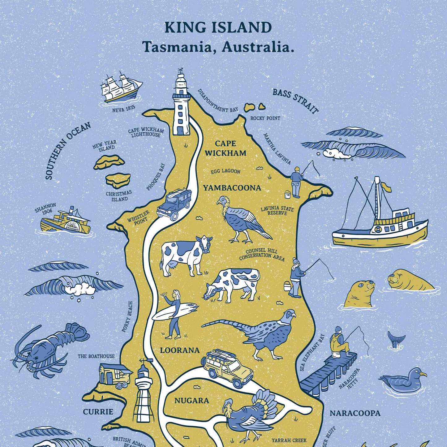
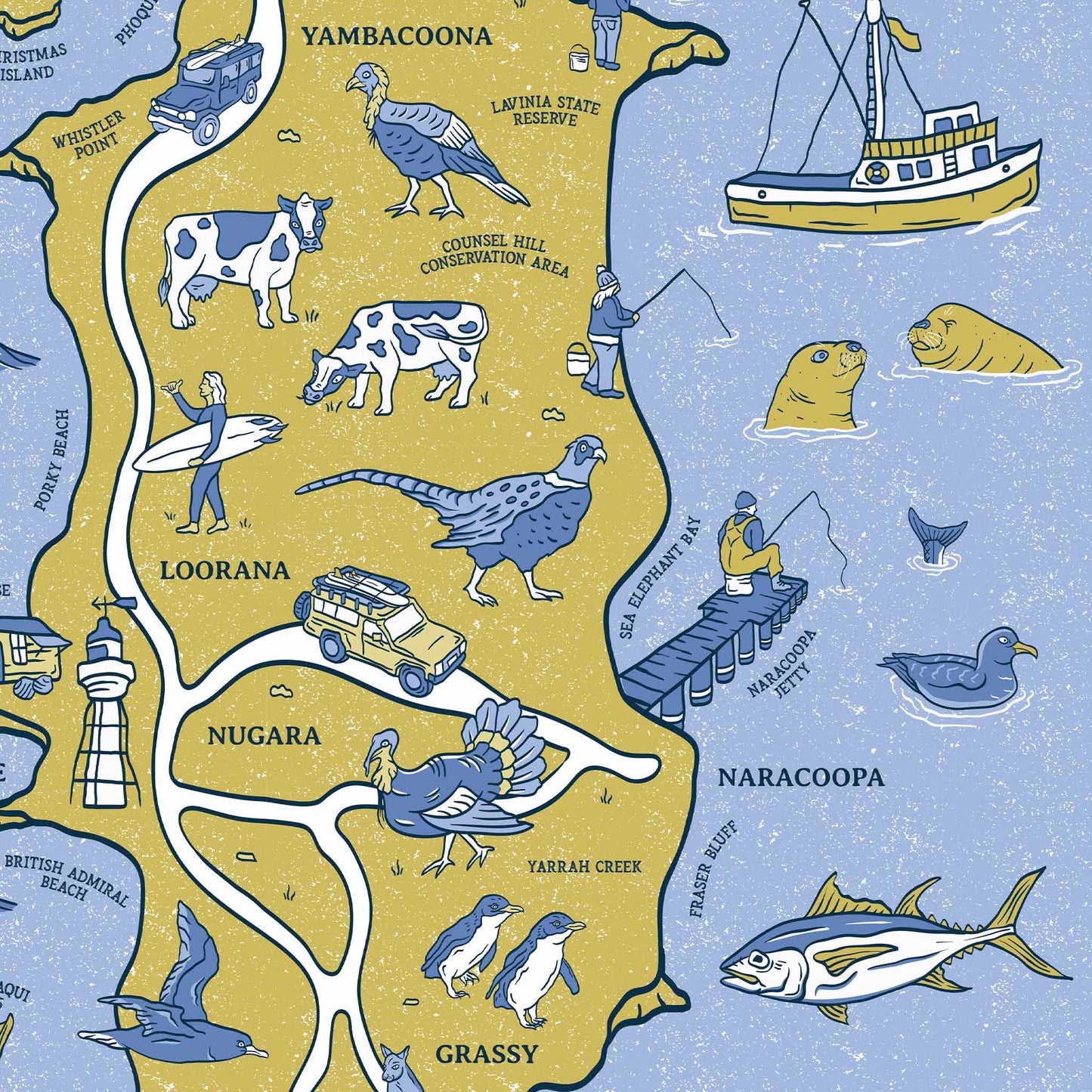
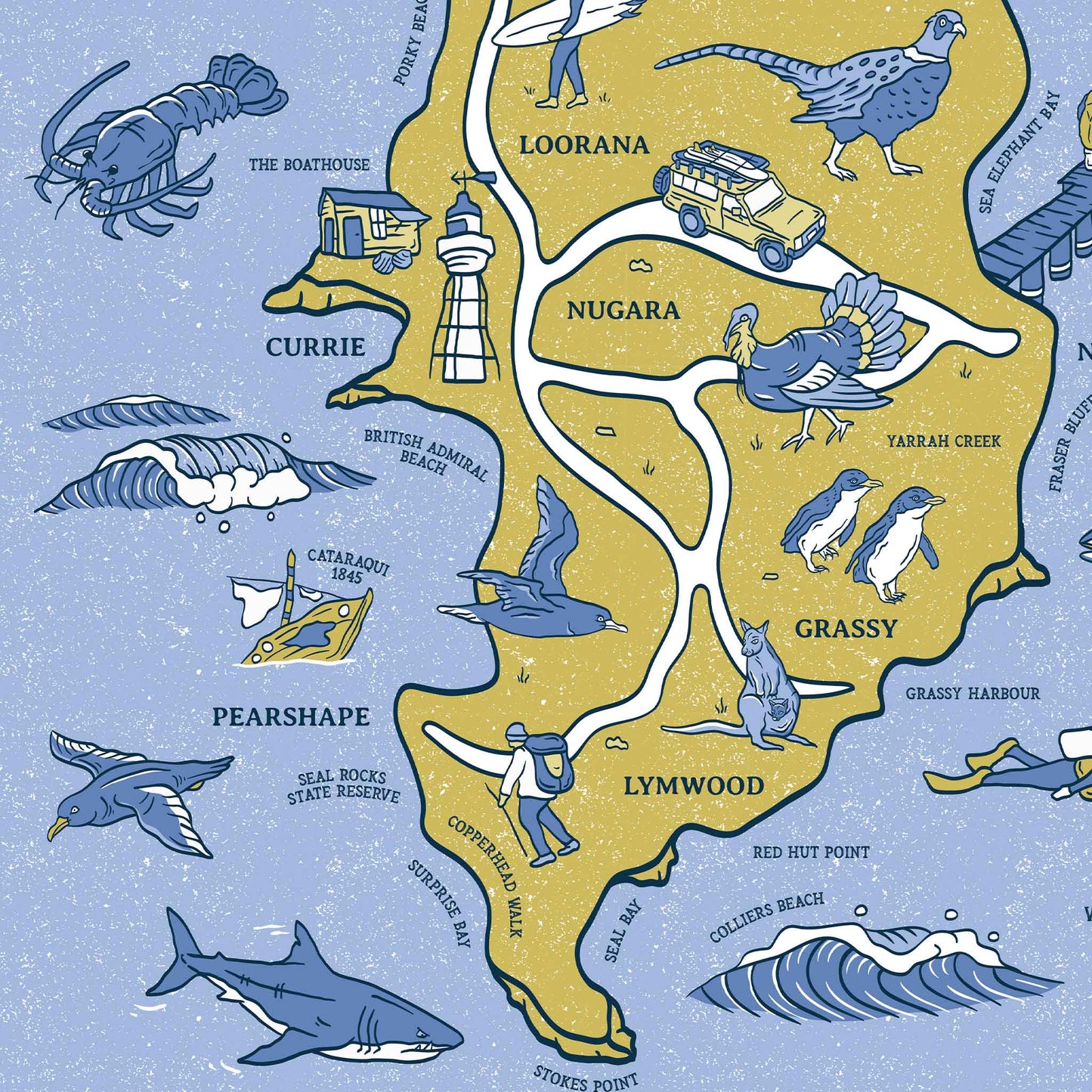
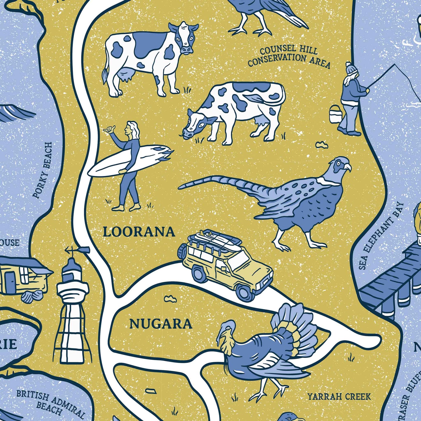
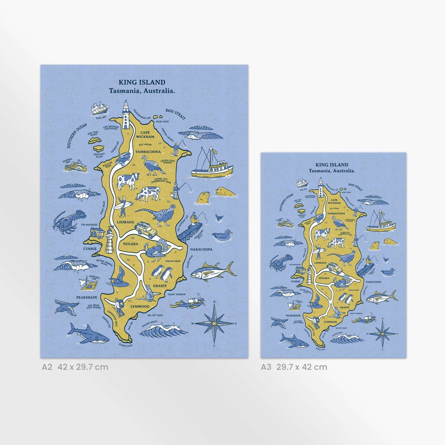
Illustrated map of King Island off the north-west coast of Tasmania. Renowned for its abundance of fresh seafood, world-famous local produce, unspoilt surf breaks, unfortunate maritime history, great diving, scenic nature walks and unique flora and fauna.
The King Island makes a perfect gift, special memento or bright addition to your home.
Designed and printed with love in Australia.
Free local drop off is available for Torquay 3228, Anglesea 3230 and Aireys Inlet 3231 for overs over $100. Collection may be available by request.
Please note, framing is not included. For help with framing please view my Framing Guide for tips and where to purchase.
Materials
Materials
A3 & A2 sized maps are printed locally on thick 350gsm card stock. A1 artworks are printed on 200gsm matt/satin paper. A1 canvas maps are printed on durable cotton canvas and can be displayed without framing behind glass.
Dimensions
Dimensions
A3 29.7 x 42.0cm, A2 42.0 x 59.4cm, A1 59.4 x 84.1cm
Shipping Times
Shipping Times
To minimise waste, all my maps are printed to order. Please allow 1-2 days for printing + 2-7 business days for Standard Shipping OR 1-4 business days for Express Shipping. Please allow 7 business days for printing A1 and canvas orders + delivery.
Packaging
Packaging
Prints up to A2 in size are packaged flat in between sturdy backing boards. Larger prints are shipped rolled in a rigid mailing tube.
Care Instructions
Care Instructions
-
Free Shipping
Free Shipping Australia wide for all orders over $100.
-
Free Local Delivery
Free local delivery is available for Torquay 3228, Anglesea 3230 and Aireys Inlet 3231 for overs over $100. Collection may be available by request.

